
Tashkent, city center area
We are now in Tashkent, the capital and largest city of Uzbekistan. It was the largest city in ex-Soviet Central Asia with a population of near 2.5 million people. The city plus the surrounding area have 3.5 million people. Tashkent is situated in northeastern Uzbekistan and very near the Kazakhstan border. In 2009, Tashkent celebrated 2,200 years of written history. Some of that history, they might wish to forget. Genghis Khan leveled the city in 1219. It was rebuilt and greatly profited as one of the greatest cities on the Silk Road. It fell to the Russian empire in 1865. It was greatly modernized after Russia’s 1917 Revolution. It was again largely destroyed after a 9.0 earthquake in 1966. So today Tashkent is mostly a Soviet-era city rather than a Silk Road city. It’s a mixture of crumbling Soviet-style apartment blocks, modern new office buildings, beautiful parks, hotels, bars, and shops. The central city area is very clean and quite impressive. My understanding is that things are not as impressive the farther away you get from the city center.
Our hotel was very near the center of Tashkent. This post and the next are all within an easy walking distance of our hotel. We spent much of our two days in Tashkent walking around the city center area. It was in the ninety degree range but was actually reasonably comfortable as the photos will hopefully show. The city center area is full of parks, museums, mosques, landmarks, memorials, theaters, concert halls, and art galleries, not to mention nice restaurants. It was a lively and fun area to stay in Tashkent.
You can see an ancient irrigation canal in the first photo. Its origins may go back 1,000 years. Since this is and was a major source of water for the city, much of the city center is very near the canal. Yet, it was a beautiful and peaceful place to walk. The walkways hide many of the nearby buildings by being screened out by trees. Many of the trees and plants bloom but few were since this was summer time and not spring. The canal water inflow is controlled so there is no flooding according to our guide. We were told that the canal area is popular in all seasons of the year. You can see why.

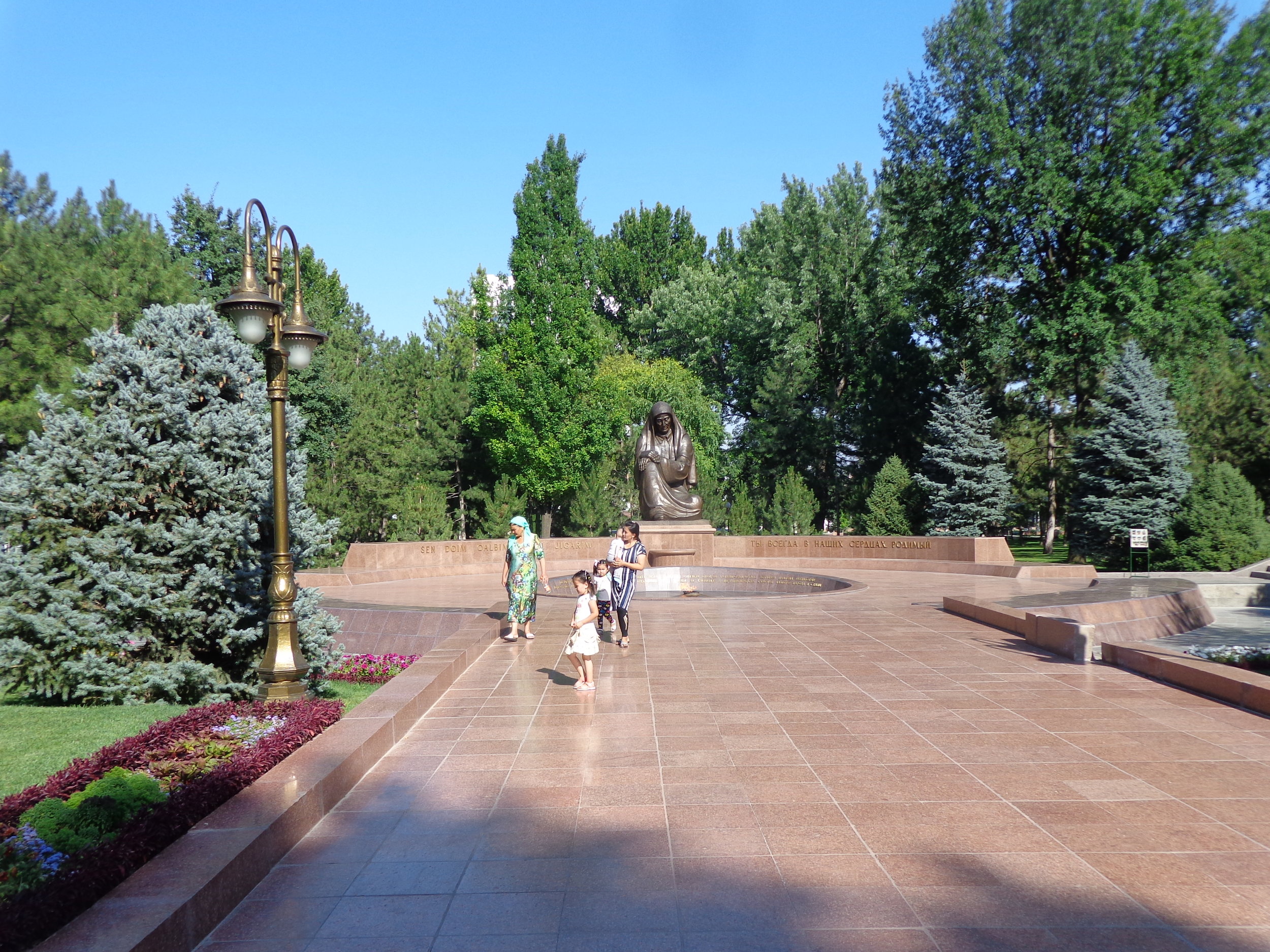
A World War II memorial is in the second photo, a mourning mother. It is located in Independence Square (formerly Lenin Square). There is an eternal flame right in front of the statue. It was constructed in 1999 to honor the Uzbek soldiers who died during WW II. There are two long corridors on either side of this memorial that house the names of all Uzbekistan people who died for the Motherland in the Second World War. Our guide said that something like 650,000 Uzbeks died in the war. At that time, Uzbekistan had about 6.5 million people in the country, so roughly ten percent of their entire country died in WW II. U.S. losses pale in comparison to the losses of the central Asian republics. They fought with Russia under Russia orders and on the side of the US and Allies. But my assumption is that the Russians sent them into highly dangerous duties and they suffered high casualties. Our guide said that every single Uzbek was affected by WW II, in that everyone had a spouse, brother, cousin, friend, parent, etc. who died in the war.
Independence Square is about 30 acres, so quite a large area. A statue of Lenin stood in the center in Soviet times. Lenin was replaced in 1992 by an Independence Monument in the form of a globe with Uzbekistan’s borders outlined on it which you can see in the third photo. Under the world globe is a woman holding a baby in her arms, a symbol of Mother-Motherland. The square is a place to hold solemn events on festive days such as Independence Day (September 1). On those occasions, they have musicians, dancers, clowns, and rope-dancers. It was quiet on the warm afternoon that we were here.

In the independent Uzbekistan era, the square had an overall reconstruction. Many buildings were renovated and the square took on a modern look. The central figure of the square is sixteen marble columns joined by a bridge, supporting the sculptures of storks who symbolize peace and quietness from the earliest times. You can see a part of this in the fourth photo. Most buildings in the square area are government buildings and administrative institutions. I can’t remember which building is behind in the photo, the Senate building or cabinet of ministers building, but some government building. On a side not, we saw lots and lots of storks nesting on our drive from Samarkand to Tashkent.

The Palace of Prince Romanov is in the last photo. For being in the heart of Tashkent, it is an interesting and unusual building. It was built for Grand Prince Nikolay Konstantinovich Romanov who was a first cousin of Tsar Nikolay II. The prince was deported here in 1881 to mine precious stones. The building was constructed in 1891. It was converted into a museum in 1919. In 1935, it became a Lenin Young Pioneers Palace. It went through several other functions and today is not used much. But the one story brick building is highly decorated with domes and spires and sculptures and looks very interesting. The area is quiet and the house set back and we were told that the trees are over 130 years old.
