
Norwegian Coast
We saw some 1,500 miles of the Norwegian coast, from Bergen to Kirkenes. The look of the land changed dramatically as we sailed up the coast. I couldn’t possibly include all the different types of scenery but I thought I would put one post with some of the variations that we saw going up the coast of Norway.
I include the first photo as a very typical Norwegian coastal town. We saw cities and villages all along the coast that looked very similar to this.

We are passing the Arctic Circle, “66 degrees, 33 minutes North”, in the second photo. It was 7:15am and the weather was beautiful. We would have been in t-shirts except for the wind. The Arctic Circle marker is just to my left on the island. You can still see that the land here was more on the rocky and barren side. No trees or snow nearby, just rocks and scrub brush.

Land formations, even rocks, were at times quite fascinating such as in the third photo. Norway has certainly had an interesting geologic past which is why all the fjords. This was near Bodo, Norway.

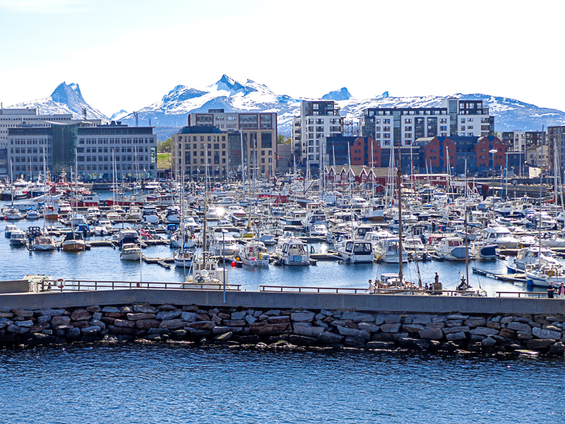
The cities and towns along the coast have harbors full of boats. Our guide said that something like one in every five Norwegians owns a boat. That probably means that most families own a boat. The harbors were almost always full.
We saw more and more snow as we moved north. Early on our trip, we saw snow but it was on the mountains in the background. Later, the mountains in the foreground had the snow and we even got into snow ourselves.
