We are in Khiva in the first photo. This is the inner part of the Kuhna Ark which was the Khiva ruler’s own fortress and residence. It dates back to the 12th century. You can see Vicky on the porch of the Khan’s throne room or receiving room.
Question: What is the raised round brick platform for?
Answer: For the Khan to put his yurt on.
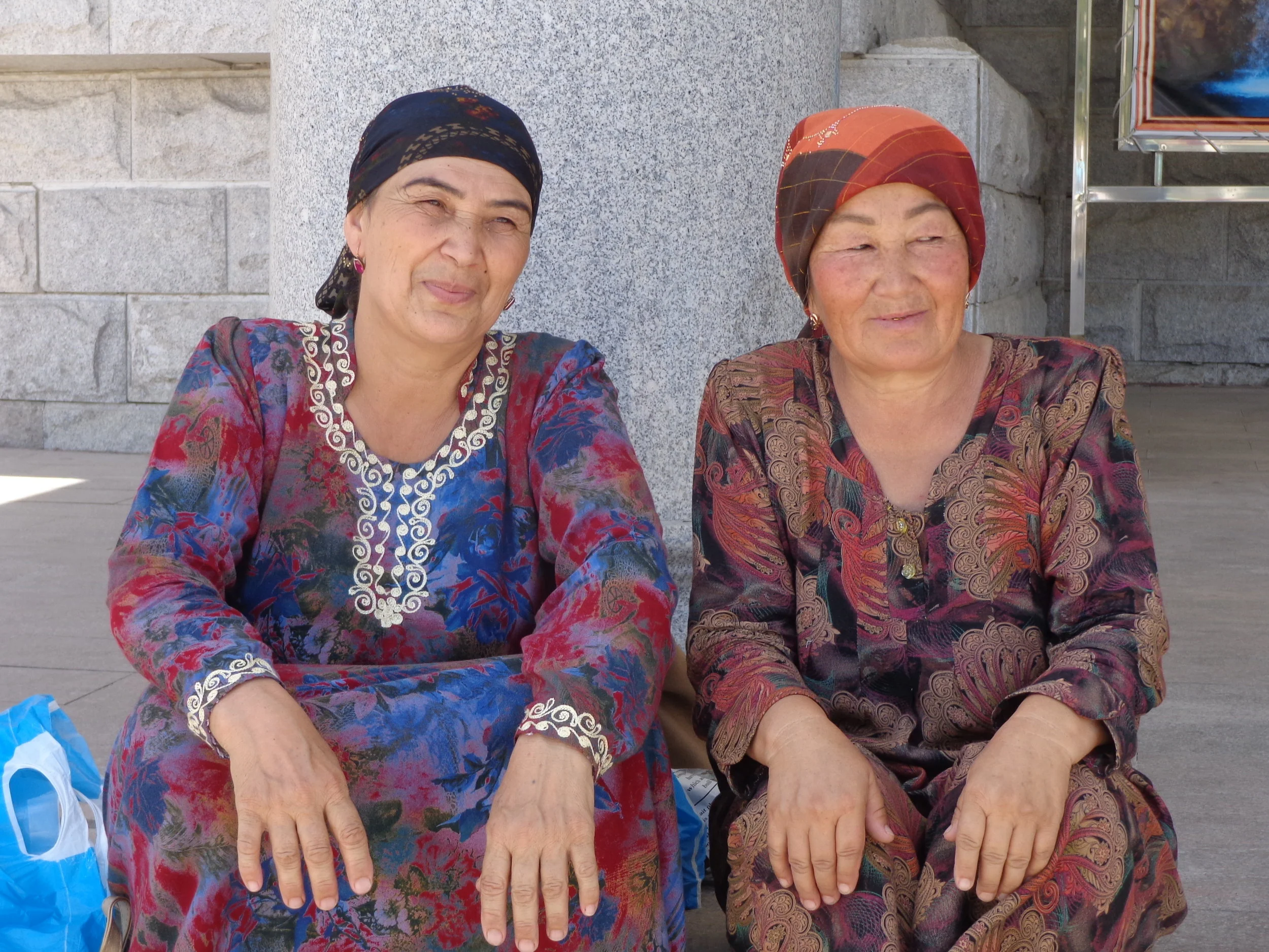
I remind you that the central Asians hold to their nomadic roots with a passion and that means having reminders like yurts and horses around them.
The second photo is in Bukhara. This is the Moschea Bolo-khauz Mosque, a mosque completed in 1712. Our guide said that locals call this the “40 Column Mosque”.
Question: Why do the locals call this the 40 Column Mosque?
Answer: Because the mosque has 20 columns and you can see the 20 columns in the reflection in the pond, so 20 + 20 = 40 columns.
Some of you thought you counted 40 columns but there are two rows of 10 columns – which is then repeated by their reflection in the pond. (at least on a good day)
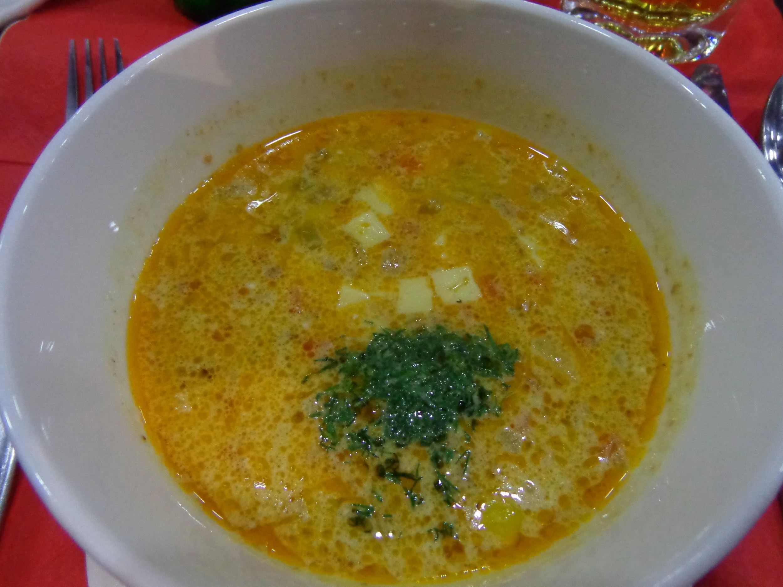
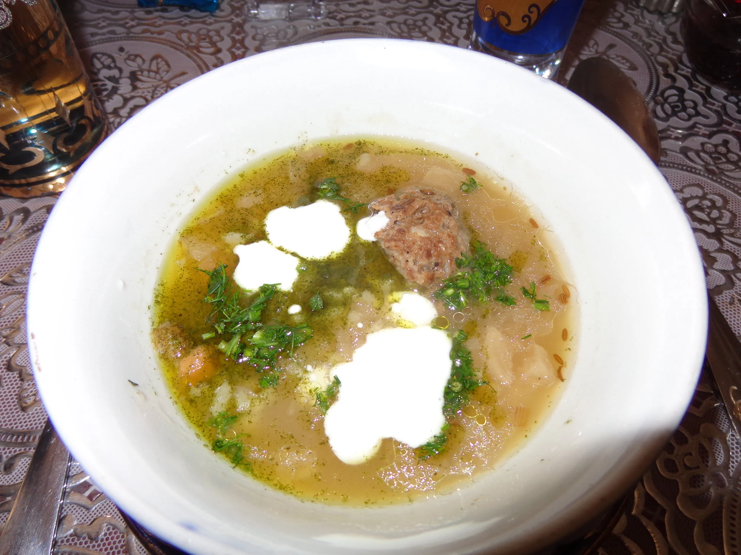
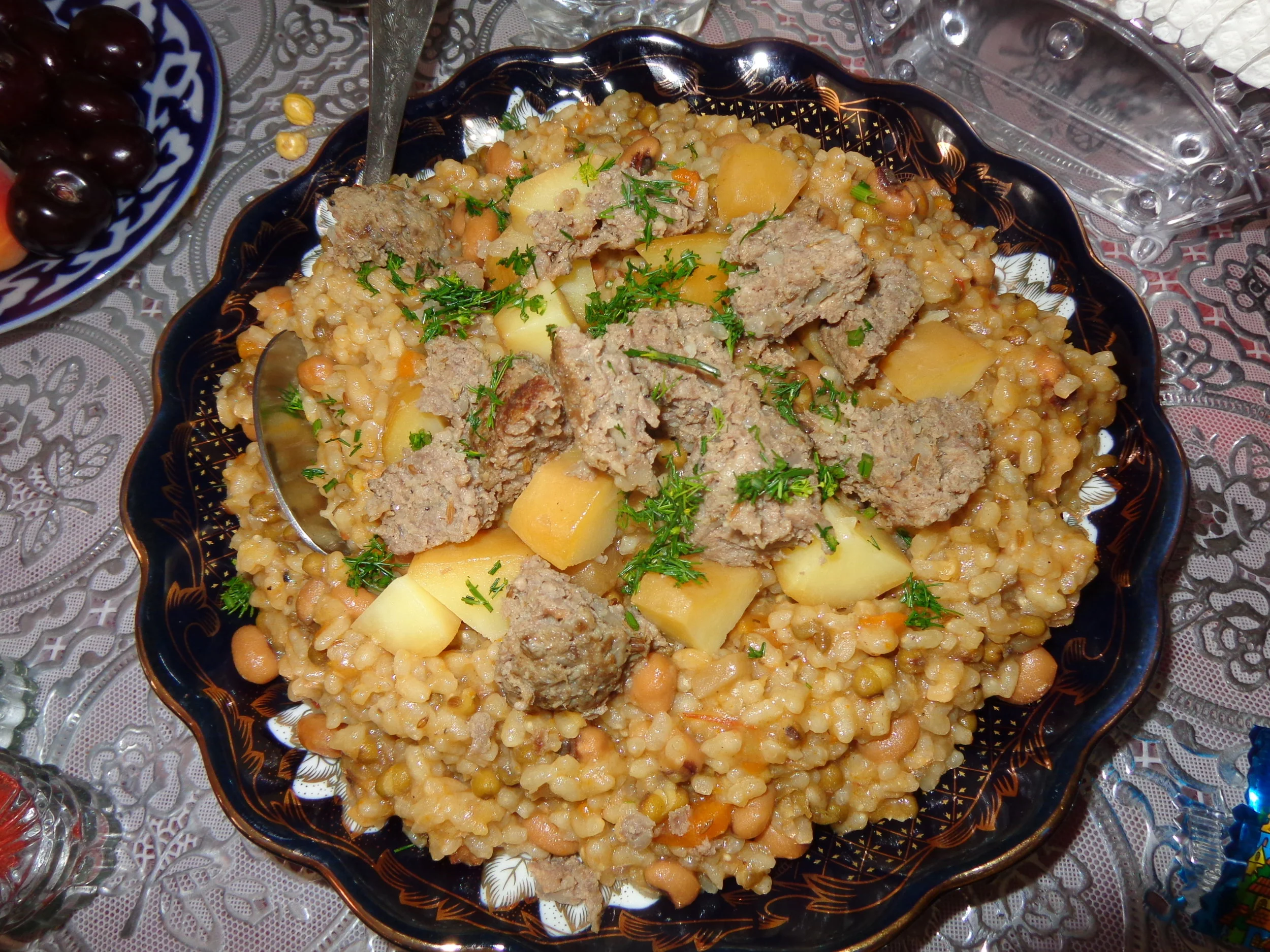
We are still in Bukhara and having lunch at the Chinor Restaurant. The pickle soup is in the third photo and it was really excellent. Our guide suggested that it had a secret ingredient. The secret ingredient can readily be seen in the soup (big & green).
Question: What is the secret ingredient in the pickle soup?
Answer: a green apricot
We saw lots and lots of apricot trees in central Asia and the apricots are used for lots of things that we don’t use them for, including, evidently, flavoring pickle soup. We may need to try that out this winter, if I can find a green cot then.
Now we are in Samarkand, at the Registan Square. The fourth photo is the Tilya-Kori Madrassah, built in 1646-1660. As you might recall, Samarkand and most of the rest of central Asia has suffered many large earthquakes. We were told that the quakes tend to jolt in certain directions. In the photo, the corner tower can be seen leaning south.
Question: In which direction do the earthquakes tend to jolt here: to the North (right) or to the South (left)?
Answer: To the North or right in the photo.
Remember that these madrassahs had to be rebuilt after the 1966 earthquake. In rebuilding, they purposely leaned the towers to the south so that, hopefully, the next earthquake will just straighten them up (to the north) and won’t knock them down.
We are in Tashkent at the Chorsu Bazaar in the last photo. Our favorite stop was the bread making area. You can see a guy molding the dough in the last photo.
Question: What is underneath the dough that he is using as a platter upon which to mold his dough?
Answer: an LP
I don’t know why, but the several people that we saw molding the dough were all using an LP to do it on.
What band’s album? Who knows. Probably the Rolling Stones…since they have a lot of dough…and they really knead it….
I hope you had some fun with this one.